Ashby museum has an archive of over 3000 photographs – both original and copies. This page allows people to view the main group of photographs, but does not include photographs in specialist collections as these often include ones that are not in our primary area of interest. Larger images may be viewed at the museum during opening hours, and copies for private use may be purchased.
This page also allows access to details of artefacts (physical objects) held by the museum. Please note that when changing between photographs and artefacts, the classification list is only updated after the first search.
Showing images 501 to 510 of 4081
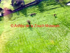
AYZMU:P16-0029 image 2 of 2
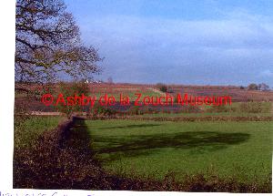
2008 - 2008
A 2008 aerial view over fields towards Lount from A453, showing coal near surface.
AYZMU:P16-0028
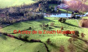
2008 - 2008
A 2008 aerial view from hilltop towards hall, - site of original village at Staunton Harold
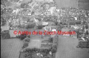
AYZMU:P16-0027
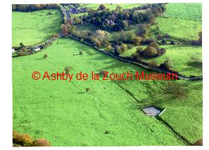
2008
A 2008 aerial photo -view across valley from Farm Town looking at top left the Beaumont School on the old Ashby Road. Road to Farm Town centre right.
AYZMU:P16-0026 image 1 of 2
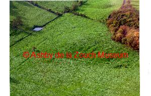
2008
A 2008 aerial photo - Farm Town looking across valley towards Coleorton Hall.
AYZMU:P16-0026 image 2 of 2
2008
A 2008 aerial photo - Farm Town looking across valley towards Coleorton Hall.
AYZMU:P16-0025
2008
A 2008 aerial photo of Coleorton Hall (from Farm Town) & St. Mary's church top left. Farm Town road just visible on left. Ashby to Loughborough road extreme top.
AYZMU:P16-0024
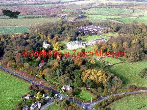
2008
A 2008 aerial photo of Coleorton Hall & St. Mary's church showing new houses top right in the area formerly gardens and greenhouses. Bottom centre: Almshouse on junction of the Rempstone & Ashby to Loughborough road.
AYZMU:P16-0023
1988
Aerial view of Ashby in 1988. Castle in foreground. Manor House school and grounds behind, and St. Helen's church.
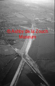
AYZMU:P16-0022
1988
Aerial view of Ashby in 1988. Line of the A42 under construction, running top to bottom (south to north). The bridge in centre is over Upper Packington Road. The Railway line runs across just above.
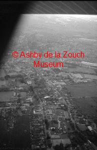
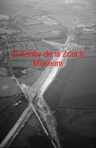
AYZMU:P16-0021
1988
Aerial view of Ashby in 1988. Line of the A42 under construction, running top to bottom (south to north). The bridge in centre is over Upper Packington Road. The Railway line runs across just above.